 EN
EN 中文
中文 ES
ES RU
RU FR
FR PT
PT AR
AR DE
DEHow 3D LiDAR Measures Stockpile Volume: The Scanning Principle Explained

Coal yards, ore stockpiles, aggregate bins and biomass sheds all share one problem: the surface is large, uneven, and changes every time material is added or reclaimed. A height reading at one spot cannot describe it. 3D LiDAR solves this by measuring the whole surface.
Why a single point tells you nothing about a pile
Drop a radar or ultrasonic beam onto a pile and you get the distance to one spot, often the peak or a slope. Multiply by an assumed footprint and the error can be tens of percent. Reclaim creates craters the single point never sees.
From point cloud to true volume
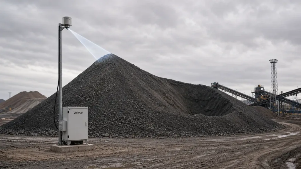
A LiDAR scanner sweeps thousands of laser pulses across the surface and records the distance and angle of each return. Those points form a 3D point cloud of the actual surface. The system fits that surface over the known floor geometry and integrates the height field to compute true volume, then applies density for tonnage. See the 3D LiDAR stockpile inventory system.
Scanner layout for sheds, domes and open yards
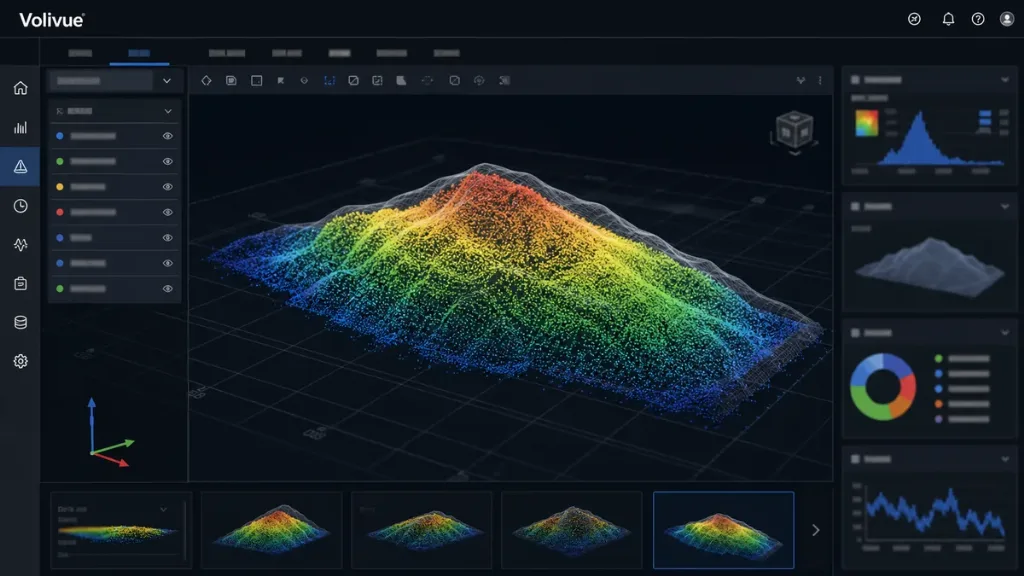
One scanner covers a modest bunker; long sheds, A-frames and circular domes use several scanners stitched into one model so no slope is shadowed. Mounting height and spacing are chosen so every part of the pile is seen by at least one scanner across the full reclaim cycle.
Comparing LiDAR with radar and weighing for closed silos? See our Technical Insights selection guide, or send your yard layout for a scanner plan.