 EN
EN 中文
中文 ES
ES RU
RU FR
FR PT
PT AR
AR DE
DE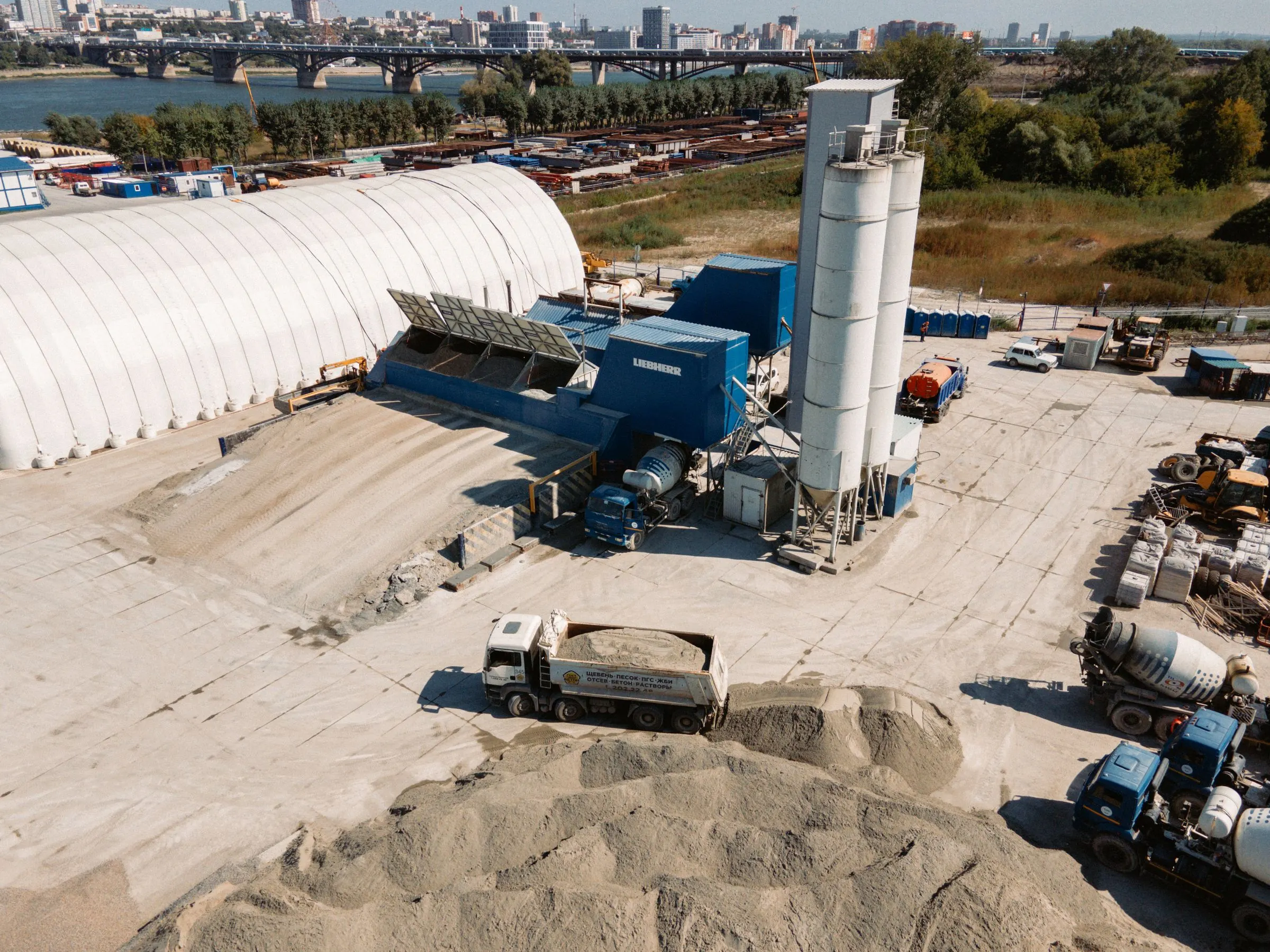
3D LiDAR Stockpile Inventory System
Every pile, measured like it matters.
Fixed scanners, autonomous drones, and handheld SLAM units build one point-cloud model of your yard — volume per zone, tonnage by material density, straight into ERP. Nobody climbs a pile again.
A pile is a landscape. Stop measuring it with a tape.
Walking the pile with a tape or GPS rover is slow, hazardous, and wrong by the time it reaches the ledger — pile shapes change with every loader pass, and a single point can never represent an irregular surface. The reconciliation gap lands on purchasing, finance, and safety.
Volivue's in-house R&D team builds the full stack — high-performance 3D LiDAR hardware, scanner layout engineered per site, and the point-cloud software that turns surfaces into per-zone volume and tonnage. Fixed, drone, and handheld platforms cover every yard geometry, and every deployment is custom-designed around your piles, not a catalog diagram.
One system. Three ways to scan — matched to your yard.
The site review picks the platform — or combines them. All three feed the same point-cloud engine, the same density library, and the same dashboards.
Fixed scanners — inventory that never sleeps.
Roof- or truss-mounted units scan continuously while loaders work below — 24/7 unattended volume for coal sheds, clinker domes, bunkers, and multi-bay warehouses. Sealed, dust-rated enclosures with automated lens wipers survive the harshest sheds.
Scanner count and placement are engineered per pile geometry to eliminate occlusion — one compact unit can cover a standard bay; large sheds combine multiple heads into one model.
Autonomous drone missions — the whole yard, no shutdown.
LiDAR-equipped drones fly pre-programmed cruise routes over ports, mine yards, and multi-hectare stockyards — a full-site sweep in one scheduled flight, while trucks keep rolling. Repeat missions build a time series of every pile's volume change.
RTK positioning keeps the point cloud survey-grade; flights are planned around dust events and airspace rules during the site review.
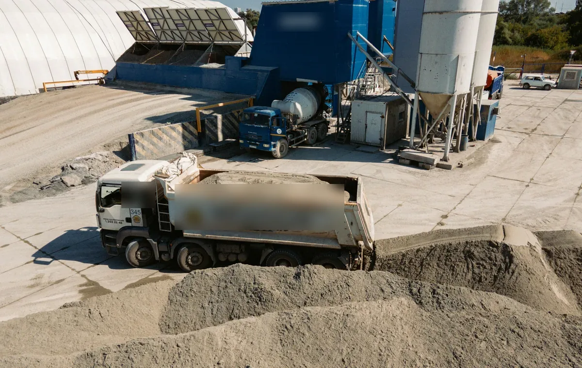
Handheld SLAM — a stocktake in minutes, anywhere.
Walk the perimeter and the SLAM engine builds the point cloud as you go — no GPS needed, so it works indoors, under roofs, and in flat warehouses where drones can't fly. A survey that took an hour with a GPS rover takes minutes.
The mobile companion for audits, month-end checks, and multi-site teams — same engine, same reports as the fixed and drone platforms.
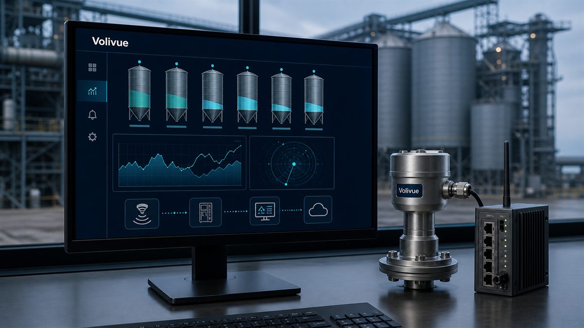
Surface in. Tonnage out. Automatically.
Different materials, different densities — handled.
Assign a density per material — coal, clinker, ore, grain, RDF — and the system reports tonnage automatically per zone. Measured densities can replace standard values any time, and every report keeps both the volume and the assumption visible.
Explore the platform →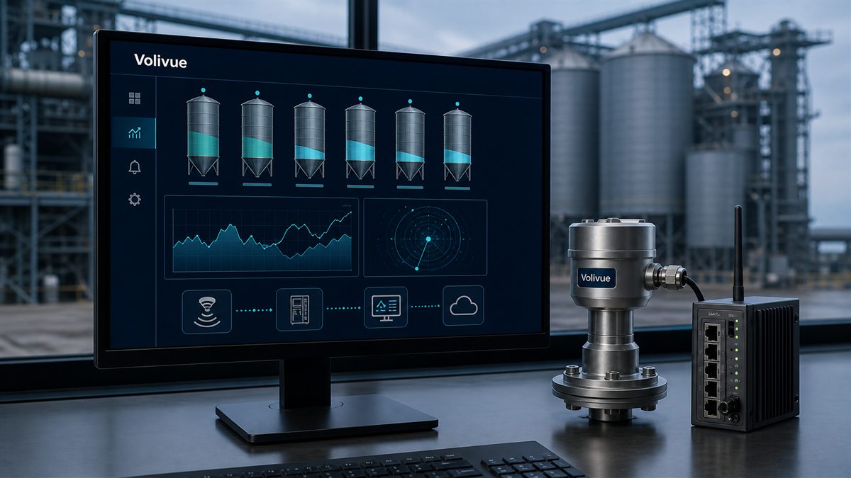
Match your yard to a proven package.
Coal shed stockpiles
Fixed scanners deliver daily volume by zone for fuel accounting and reclaim planning.
View application →
Aggregate bin volume
One compact unit covers a standard bay — per-bay volume for dispatch and procurement.
View application →
Cement dome & mineral piles
Pile shape and zone volume for blending, planning, and month-end stock checks.
View application →
Grain & pellet warehouses
Bay-level stock in flat stores without sending staff onto the piles.
View application →
Port & mine ore yards
Drone auto-cruise sweeps multi-hectare yards for real-time dispatch and group ERP.
View application →
Biomass & RDF stockpiles
Low-stock early warning protects feed continuity for generation.
View application →Twelve points to check before your next stocktake.
The two right-hand columns reflect outsourced periodic surveys as commonly quoted and manual measurement — verify the details with each vendor.
Accuracy class and scanner layout are confirmed by site geometry review; for settlement-grade mass, pair with belt scales or weighbridges.
Which scanning platform do I need — fixed, drone, or handheld?
Enclosed sheds, domes, and bays with daily inventory needs suit fixed scanners; multi-hectare open yards and ports suit scheduled drone auto-cruise missions; flat warehouses, covered piles, and spot audits suit handheld SLAM. Many sites combine platforms — the site review decides, and all three feed the same engine.
How accurate is the volume measurement?
Point-cloud volumetric accuracy is in the 1–3% class depending on platform and site geometry, validated against reference surveys during commissioning. That is substantially tighter than visual estimates or single-point measurements on irregular piles.
How is tonnage calculated from volume?
The density library assigns a density per material — standard values or your measured ones. The system multiplies zone volume by density and reports tonnage automatically, with both the volume and the density assumption visible in every report.
Can it convert between units automatically?
Yes — cubic meters, tons, fill percentage, metric or imperial, configured per site and per report. Different materials in different zones each use their own density and units.
How many fixed scanners does my shed need?
It depends on pile shape, bay layout, and mounting structures — that is exactly what the occlusion study answers. A compact unit can cover a standard aggregate bay from one mounting point; large coal sheds combine multiple heads into one model.
Does dust affect the LiDAR?
Moderate dust does not significantly affect accuracy; heavy dust events can reduce effective range, so fixed scans and drone flights are planned around blow-in or blasting. Sealed enclosures with automated lens wipers keep fixed units measuring in harsh sheds.
Can the drone fly automatically?
Yes — missions are pre-programmed cruise routes flown on schedule with RTK positioning. Flight planning, airspace constraints, and dust windows are settled during the site review.
Does the handheld unit need GPS?
No. The SLAM engine builds position and map simultaneously, so it works indoors, under roofs, and underground — places drones and GPS rovers cannot go.
Can the data feed our FMS or ERP directly?
Yes. Zone volume and tonnage push via API or OPC to fuel management systems and ERP, and live on the Volivue platform dashboards alongside silo and tank data.
Can it be used for trade settlement?
It is an inventory instrument, not a legal-for-trade scale. Where settlement-grade mass is required, pair the scanning system with belt scales or weighbridges — the volume data then reconciles intake and consumption.
How customizable is the system?
Fully — hardware, firmware, and reporting come from our in-house R&D team. Scanner layout, zone definitions, report formats, and interfaces are engineered per project, and special requirements can be developed to order.
What information should I prepare for the review?
Shed or yard dimensions and drawings, pile or bay count, materials and densities if known, mounting structures, dust conditions, airspace constraints for drone work, and the target interface or system the data should reach.
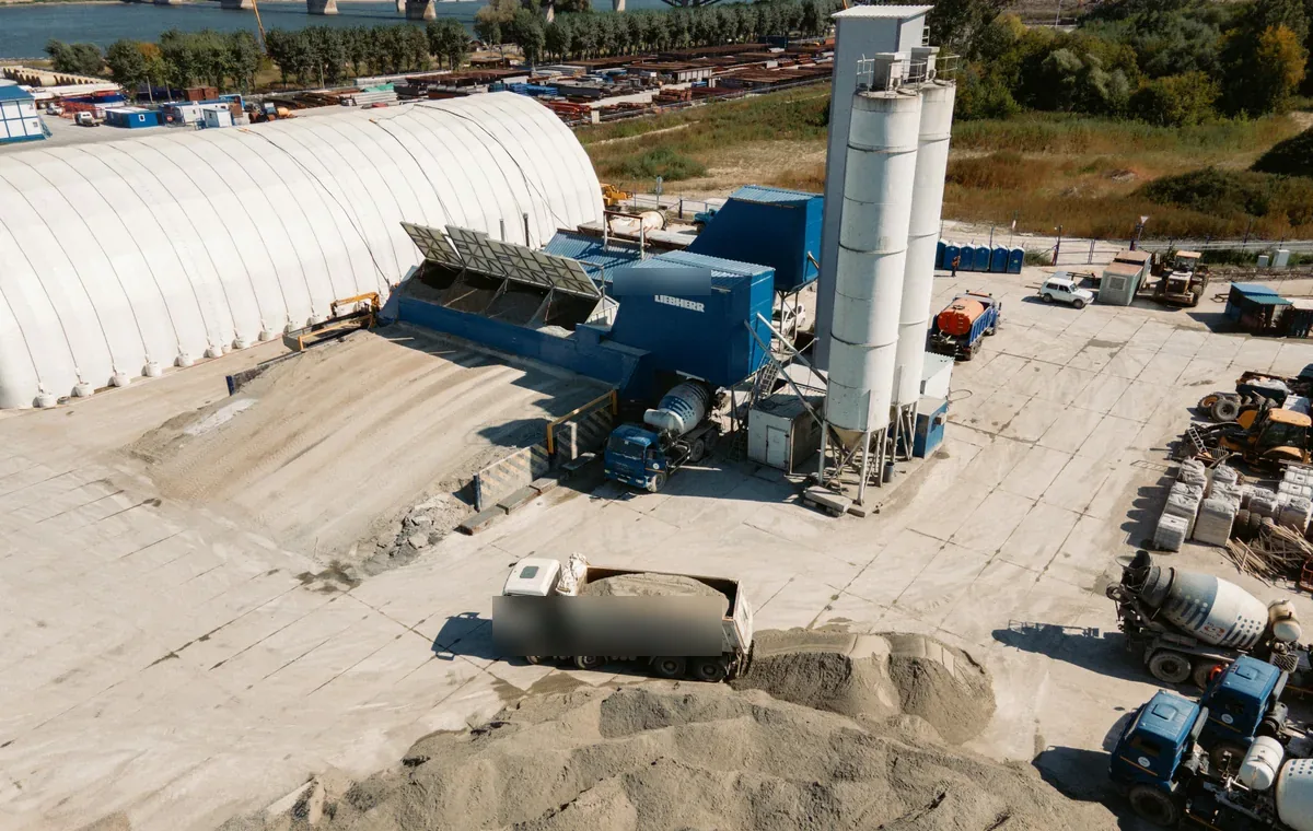
Real roofs, real legs, real yards.
Field installations across cement plants, batching stations, tank farms, and stockyards.
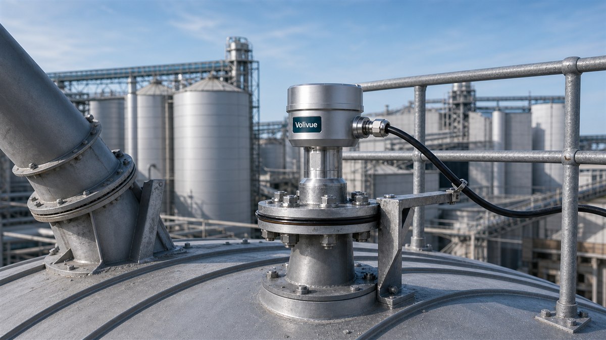
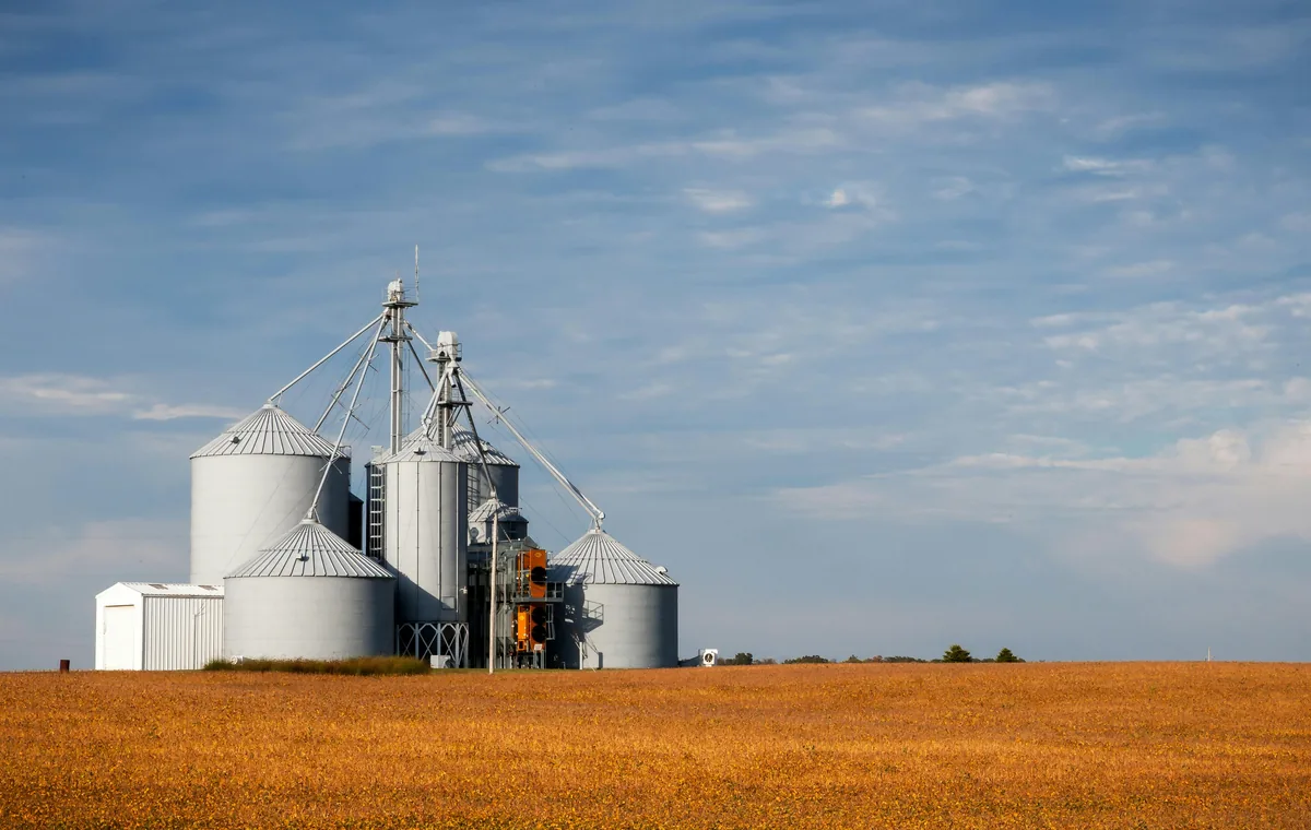
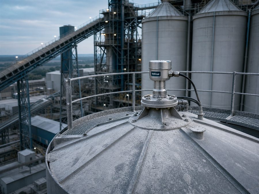
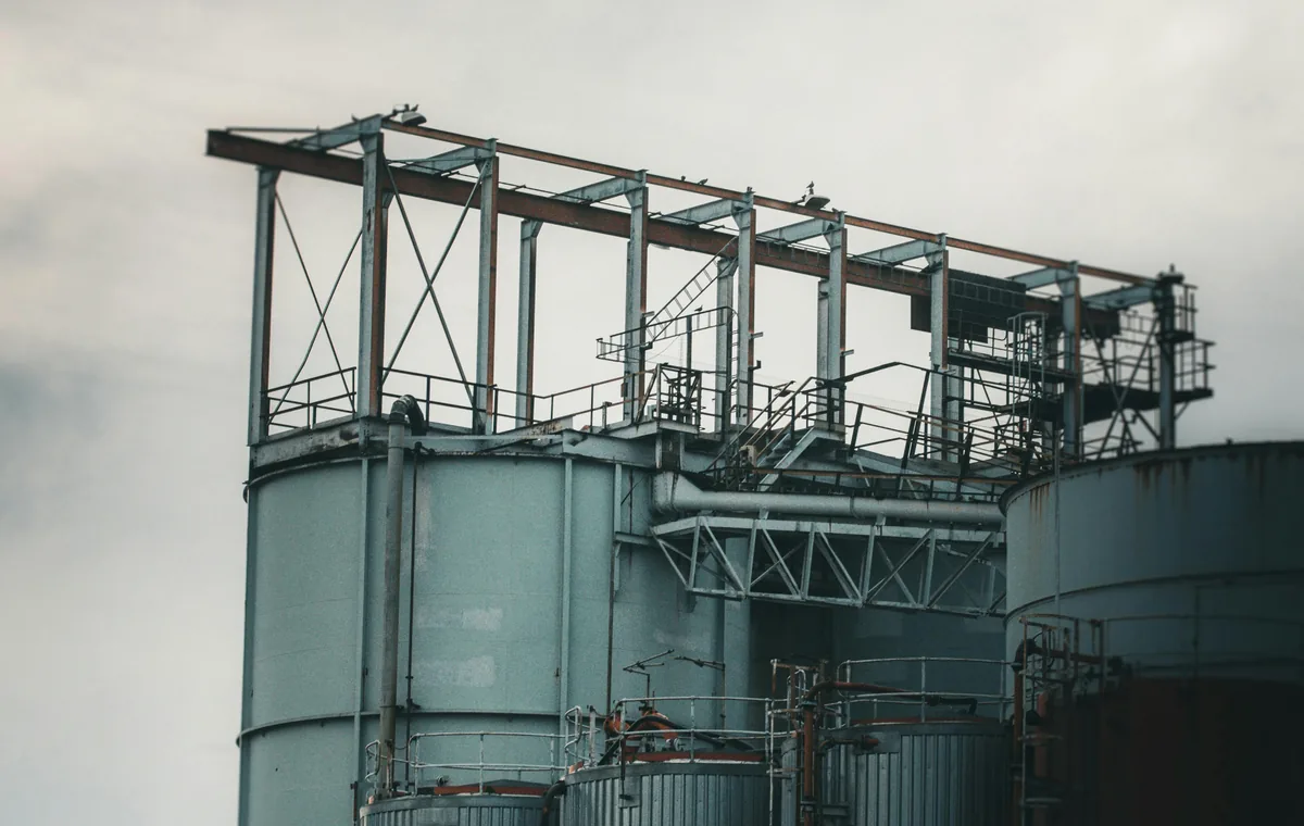
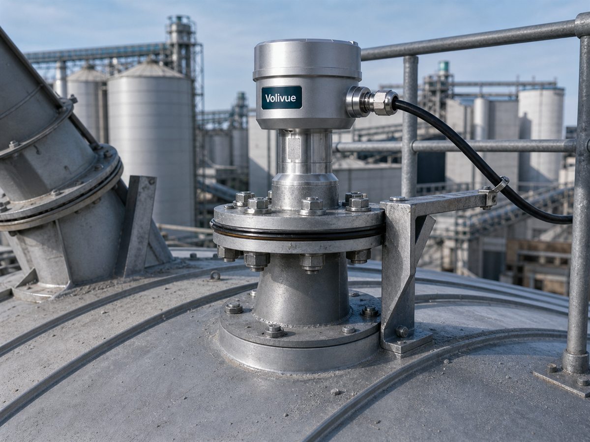
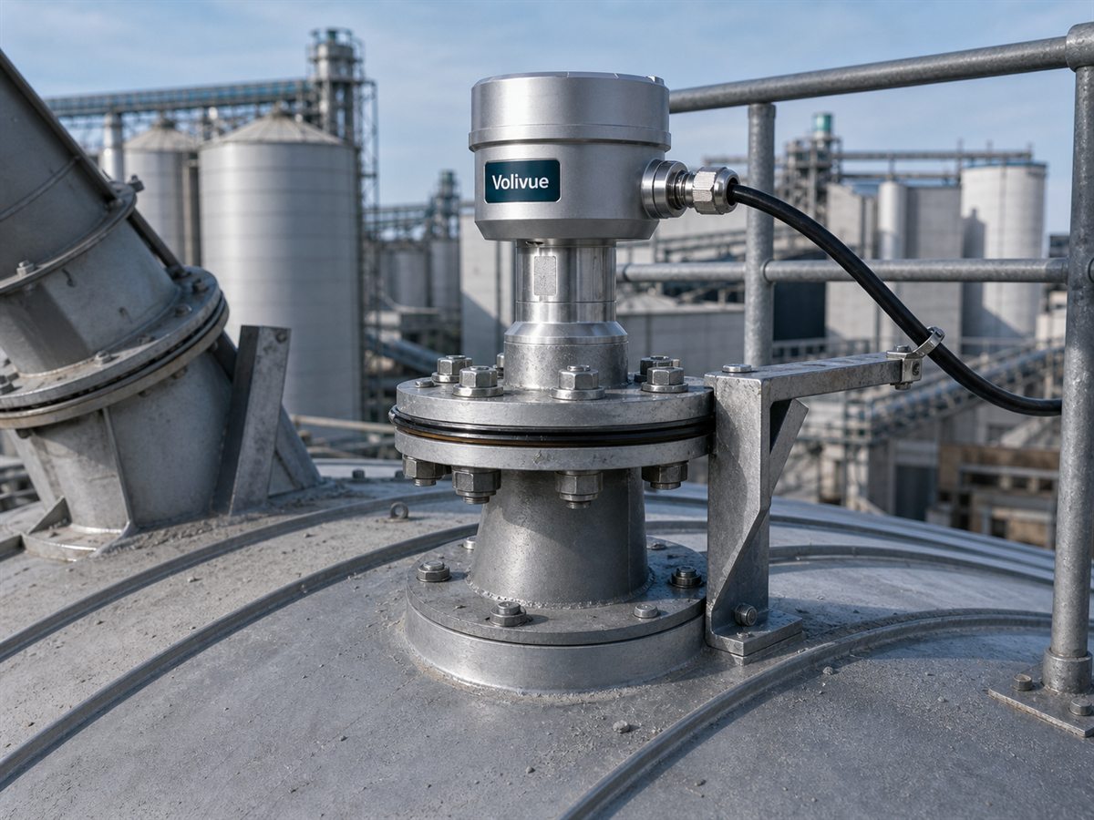

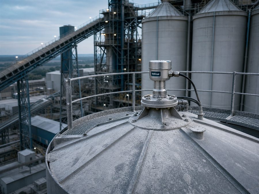
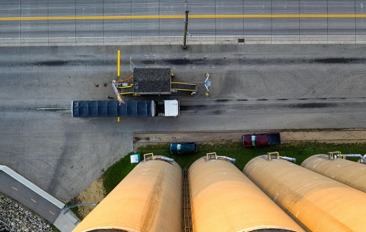
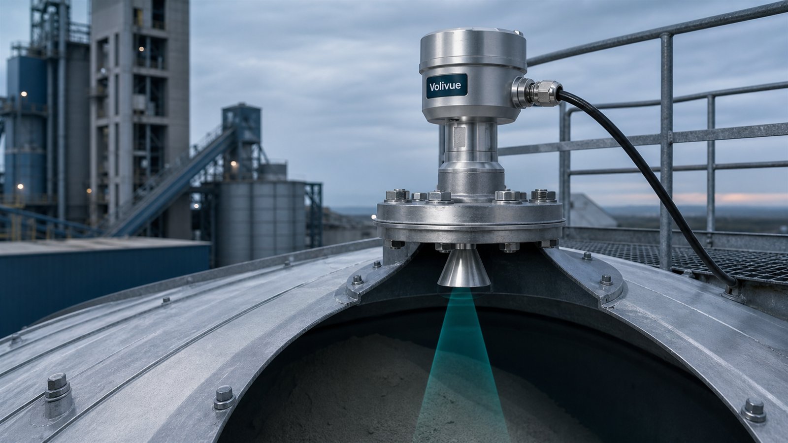
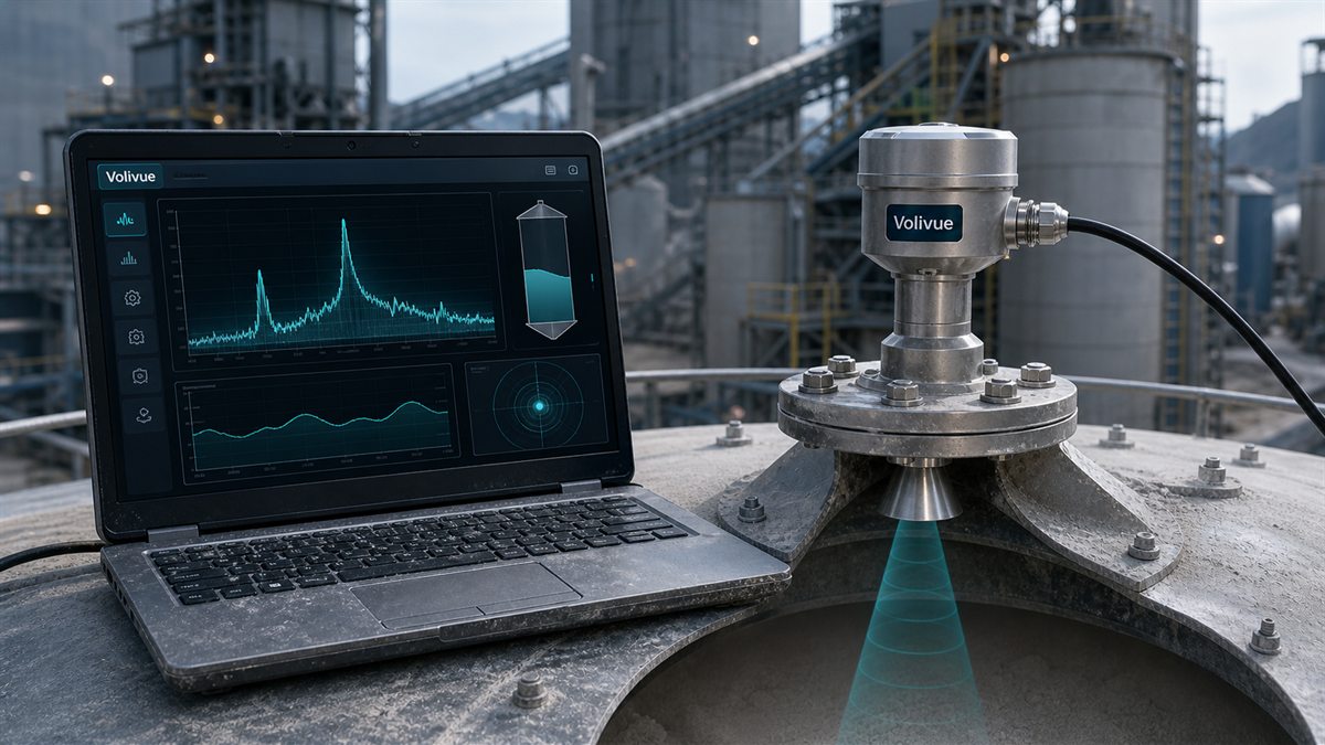
Send pile geometry, site photos, material, dust level, and target reports.
Share drawings, photos, pile height, material, dust condition, mounting locations, power and network options, update cycle, and desired dashboard or ERP/MES outputs.
Related technical insights
Why Point Level Sensors Fail on Open Stockpiles
Why point level sensors struggle with stockpile volume measurement on open piles, and how 3D LiDAR area scanning closes the gap on irregular heaps.
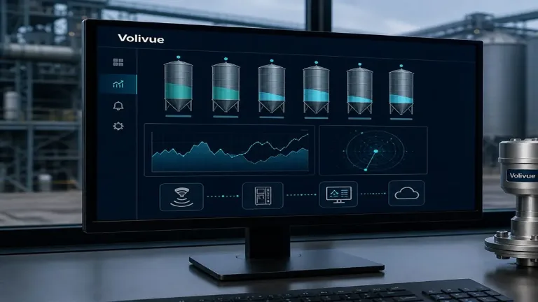
Ultrasonic Pump Control: A Beginner’s Guide to Relay-Based Level Switching
Beginner's guide to ultrasonic pump control: set high/low levels, wire the relay for start/stop, add hysteresis, and prevent overflow and dry-run.
Radar Level SCADA Integration: 4–20 mA/HART, Modbus, and Relay Paths to PLC and DCS
A practical guide to radar level SCADA integration across 4–20 mA/HART, RS485 Modbus, and relay paths into PLC and DCS, with wiring and alarm logic.